By Amanda Tickner & Jennie Murack | September 15, 2020
The Geospatial Interest Group hosted a webinar and discussion on March 24, 2020, Towards Defining Geospatial Data Literacy, in order for participants to think about data literacy concepts that are unique to geospatial data and how these are presented in our teaching. Little has been written specifically about geospatial data literacy and the goal of this discussion was to gather information on what GIS and data educators see as important components.
Discussion summary
The webinar began with a short presentation by co-chairs Amanda Tickner and Jennie Murack during which they discussed definitions of data literacy and the components included, such as the discovery and acquisition of data, data management, metadata, analysis, visualization, etc. The presentation also addressed examples of how these components can be applied to spatial data and what makes it unique. These included:
- Data visualization: There are specific best practices for representing geospatial data.
- Accounting for the population: Geospatial data must always be normalized in order to create a meaningful visualization.
- Geospatial file formats: Geospatial data are available in a wide variety of file formats and those formats, such as shapefile, can be complex and include several sub-types.
- Map projections: They are unique to geospatial data and an understanding of them is required for analysis and visualization.
- Reproducibility: Because much analysis can be done in desktop software, important information such as software version and analysis tools are often left out of method descriptions.
- Data contextualization: To interpret a map, it is necessary to understand the origin of digitized layers and other information on the map and the purpose behind their creation.
The majority of the event consisted of a discussion of unique components of geospatial data and GIS that may differ from a general data literacy lesson. These included:
- Geographical areas: How are they defined? Can they be used for analysis? Have how they changed over time? (Specific example: issues with zip codes)
- Data cleaning practices for spatial data
- Defining GIS and Geospatial librarianship
- Cartography vs. GIS
- History of tools and platforms
- The cost of/access to proprietary tools vs. open source
- Mapping historic features
- Including uncertainty
- Visualization: Can the data be visualized spatially? Is it appropriate to do so?

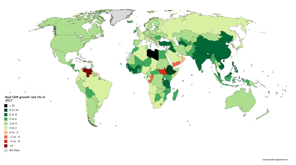
A choropleth map showing countries by real GDP growth rate in 2017, based on data from The World Factbook. Wikimedia Commons. JackintheBox. CC BY-SA.
Conclusion
Geospatial data is in many ways unique and considering data literacy differently from other data types is consequently necessary. This session provided a good opportunity for considering and brainstorming around the topic of geospatial literacy. We had robust input from attendees. The content we generated in the webinar would be a good jumping off point for future collaborations on a primer of best practices or white paper if there is interest among the IASSIST geospatial interest group members for tackling such a project.
Future topics
Attendees also brought up specific geospatial topics they would like to discuss further:
- Geospatial reference; how much do we help?
- Integrating spatial data literacy instruction into faculty course learning goals
If IASSIST members would like to present on or lead discussions around these topics or other geospatial topics please contact Amanda Tickner atickner [at] msu.edu or Jennie Murack murack [at] mit.edu.

